Enhancing Artisanal Women’s Workshops
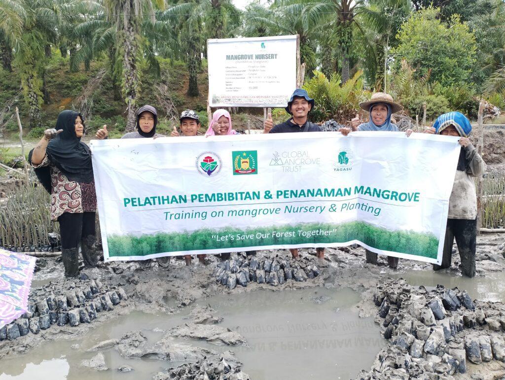
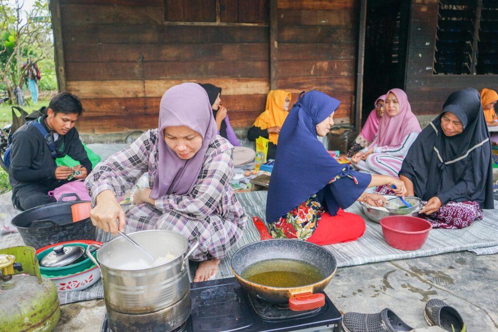
Enhancing Artisanal Women’s Workshops Happy International Women’s Day! Today, we’d like to focus on another aspect of our mangrove restoration project: mangrove-based artisanal women’s activities. Women play a crucial role in mangrove conservation and restoration projects as they often hold vital knowledge about the ecosystem and its management. They also hold significant responsibility for the welfare of families and communities, making their involvement in conservation efforts crucial for long-term project success. One key social metric of 001-OxC is the provision of training and capacity-building opportunities for women in relevant conservation and restoration techniques and skills. To achieve this, YAGASU organizes quarterly women’s artisanal workshops on mangrove-based food products and batik processing for women in coastal communities. Food products include sweet mangrove syrup, jeruju chips, and berambang (also known as ‘mangrove apple’) jam – all from the fruits of mangrove trees. Batik is a traditional Indonesian dyeing used in patterns and drawings, typically on fabric and finished textiles. Natural dyes are made from fallen mangrove fruits or leaves, where they are dried and boiled to extract color. Though duller than synthetic dyes, natural dyes are more sustainable, cheaper, and typically have a higher market value because of their quality and durability. We hope that through these workshops women in local communities will increasingly participate in conservation and restoration activities, and feel empowered to use mangrove forests as new sources of income.
Enhancing Artisanal Women’s Workshops Read More »